Public transport map Paris
Metro, tram and bus schemes of movement on Paris's map. Routes schedule.
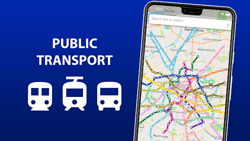


Public Transport Map Paris - Easy Navigation
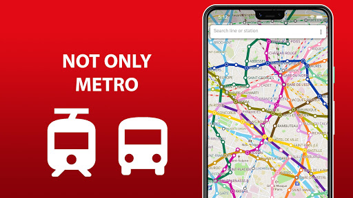
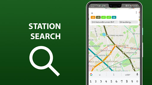
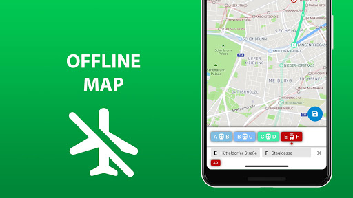
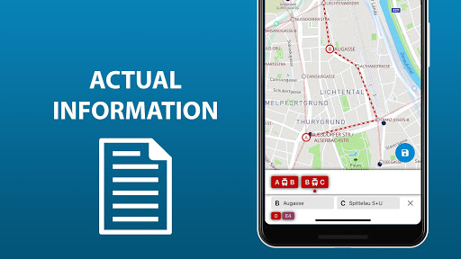
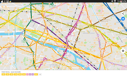
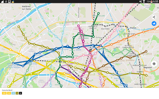
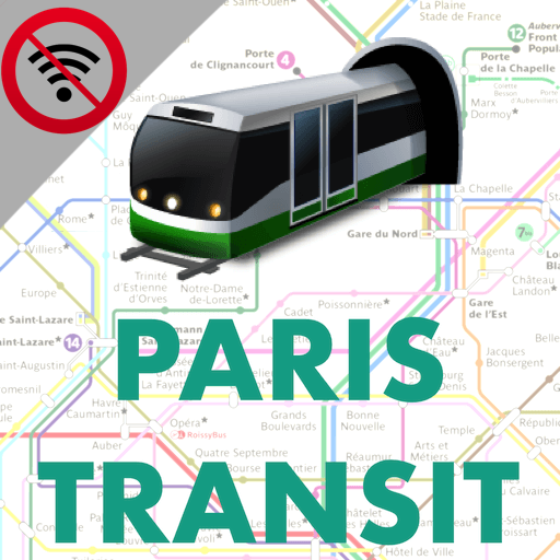
"Public transport map Paris" is an all-in-one app that provides detailed maps of Paris's public transport system, including metro, tram, and bus routes. You can search by station name or route number, access geo-positioning features, and save your favorite routes for easy retrieval. The extended version allows offline access and offers schedule checks, ensuring you can navigate the city confidently without relying on WiFi. Gain the key to exploring Paris with ease using this comprehensive transport guide.
App stats
By: Sklr
Permissions:
- android.permission.ACCESS_COARSE_LOCATION
- android.permission.ACCESS_FINE_LOCATION
- android.permission.ACCESS_NETWORK_STATE
- android.permission.ACCESS_WIFI_STATE
- android.permission.INTERNET
- android.permission.READ_EXTERNAL_STORAGE
- android.permission.READ_PHONE_STATE
- android.permission.WAKE_LOCK
- android.permission.WRITE_EXTERNAL_STORAGE
- com.android.vending.BILLING See more
Size: 60.09M
Email: sk*****@gmail.com
URLs: Website ,Privacy policy
Full description: See detailed description
Source: Google Play Store
Ranking
Similar apps
Here are some Android apps that are similar to Public transport map Paris:

Yerli Uygulama
152 0.00  (0)
(0)
TransitApps
19K 0.00 (0)

BFS Apps
5K 0.00 (0)

msto
17 0.00 (0)

FOXDEV
38K 0.00 (0)

AppPlay Software
9K 0.00 (0)

Mapway
1M 4.50 (5,988)
Goder Hsu
18K 0.00 (0)

Sklr
2K 0.00 (0)