Public transport map London
Metro, tram and bus schemes of movement on London's map. Routes schedule.
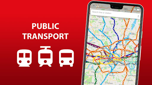
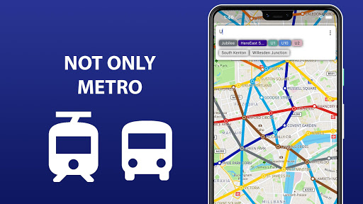
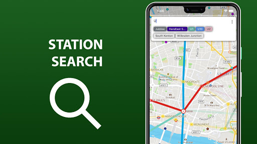
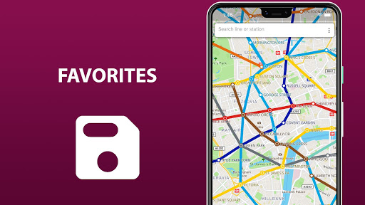
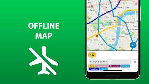
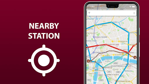

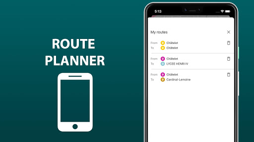
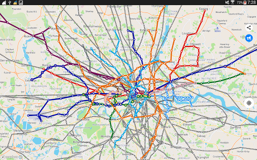
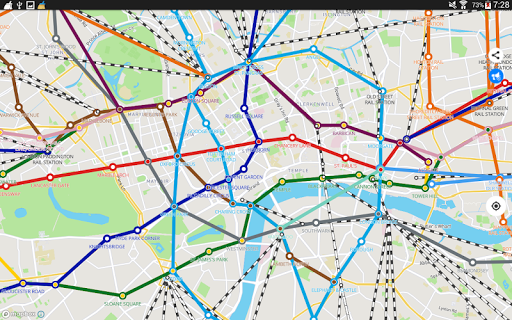
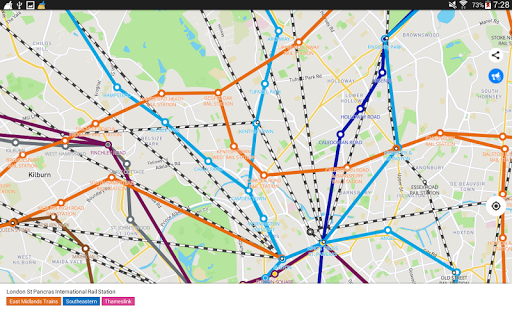

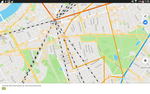

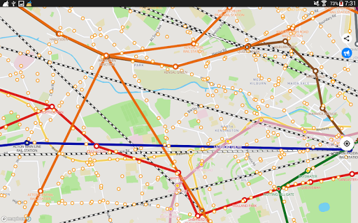

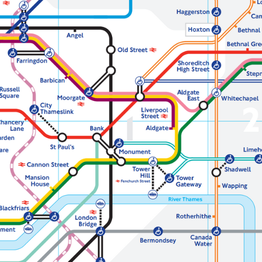
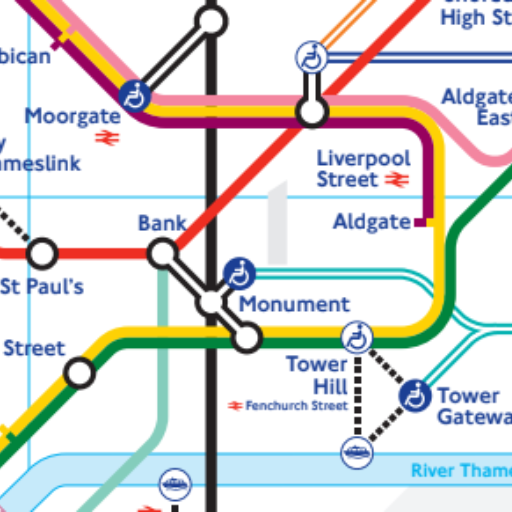
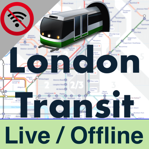
'Public transport map London' is an essential Android app that consolidates the entirety of London's transport infrastructure. It features detailed metro, tram, and bus routes, transfer stations, and allows users to search for stations and routes. With geo-positioning and the option to save routes, you'll navigate the city confidently. The extended version offers offline access and route schedules, ensuring you stay connected to the transport network without searching for Wi-Fi.
By: Sklr
Permissions:
- android.permission.ACCESS_COARSE_LOCATION
- android.permission.ACCESS_FINE_LOCATION
- android.permission.ACCESS_NETWORK_STATE
- android.permission.ACCESS_WIFI_STATE
- android.permission.INTERNET
- android.permission.READ_EXTERNAL_STORAGE
- android.permission.READ_PHONE_STATE
- android.permission.WAKE_LOCK
- android.permission.WRITE_EXTERNAL_STORAGE
- com.android.vending.BILLING See more
Size: 61.50M
Email: sk*****@gmail.com
URLs: Website ,Privacy policy
Full description: See detailed description
Source: Google Play Store
Updated: 6 hours ago
Ranking
Similar apps
Here are some Android apps that are similar to Public transport map London:

BFS Apps
2K 0.00  (0)
(0)

Sklr
8K 0.00 (0)
msto
1K 0.00 (0)

Sklr
2K 0.00 (0)

Mapway
3M 4.47 (18,639)

Synergy App Studio
17K 0.00 (0)

R.M A.R
570 0.00 (0)
msto
817 0.00 (0)
TransitApps
7K 0.00 (0)