Berlin Transit Maps
Public Transport Network Maps for Berlin. Offline. Reliable. Fast.

Berlin Transit Maps - Offline Transport Maps
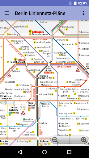
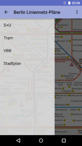
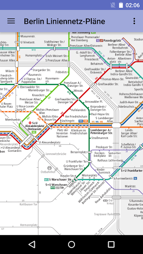
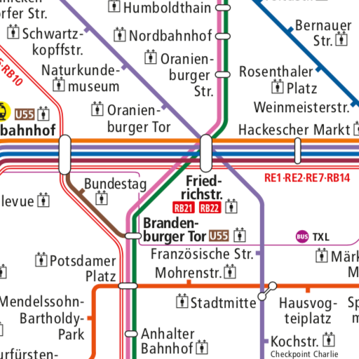
"Berlin Transit Maps" is an Android app that offers comprehensive offline maps of Berlin's public transport network, including S-Bahn, U-Bahn, trams, and the regional VBB network. With this app, you can easily navigate the city's transit system, ensuring you always have access to the essential maps you need to get around Berlin efficiently. Stay connected and explore the city with confidence using reliable, fast, and user-friendly maps at your fingertips.
App stats
By: Topobyte.de
Permissions:
- android.permission.ACCESS_NETWORK_STATE
- android.permission.INTERNET
- com.android.vending.BILLING
- de.topobyte.transportation.plan.deu.berlin.DYNAMIC_RECEIVER_NOT_EXPORTED_PERMISSION
Size: 4.19M
Email: se*****@fu-berlin.de
URLs: Website ,Privacy policy
Full description: See detailed description
Ranking
Other platforms
Not available on Chrome
Not available on Firefox
Not available on Edge
Similar apps
Here are some Android apps that are similar to Berlin Transit Maps:

AppPlay Software
912 0.00  (0)
(0)
Apptastic Software
90K 3.20 (506)

Topobyte.de
11K 0.00 (0)

MobiTech Digital Ltd
15K 0.00 (0)

Sklr
2K 0.00 (0)

Mapway
296K 4.12 (1,136)

Subway Maps by LithoByte, Co.
135K 4.57 (626)

Topobyte.de
6K 0.00 (0)

R.M A.R
149 0.00 (0)