Street Maps
Live Navigation, more than 3 Millions Downloads!


Street Maps - Live Navigation & 3.5M Downloads
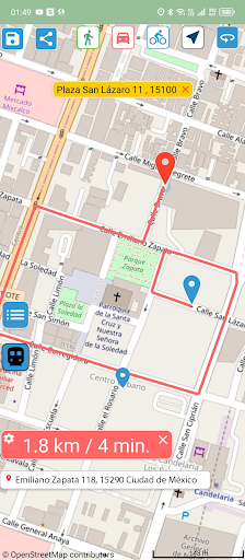
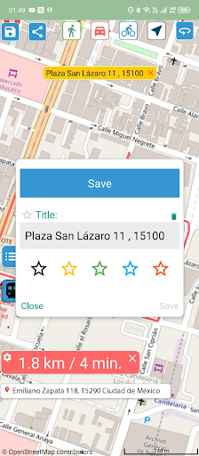
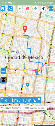
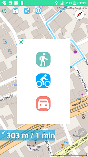
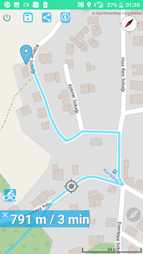
"Street Maps" is a fast and lightweight GPS navigation app with extensive metro coverage in 172 cities worldwide. It allows easy route searching, saving, and sharing, catering to diverse users including taxi drivers, tourists, and cyclists. The app ensures data privacy, operates offline, and provides features like a compass, distance indicators, and wheelchair routes. With a size of less than 10 MB, it's the perfect companion for anyone on the move.
App stats
By: Quick Ways
Rating: 4.14 
7 new ratings
(21,617)
Permissions:
- android.permission.ACCESS_ADSERVICES_AD_ID
- android.permission.ACCESS_ADSERVICES_ATTRIBUTION
- android.permission.ACCESS_ADSERVICES_TOPICS
- android.permission.ACCESS_COARSE_LOCATION
- android.permission.ACCESS_FINE_LOCATION
- android.permission.ACCESS_LOCATION_EXTRA_COMMANDS
- android.permission.ACCESS_MOCK_LOCATION
- android.permission.ACCESS_NETWORK_STATE
- android.permission.INTERNET
- android.permission.READ_EXTERNAL_STORAGE See more
Size: 5.66M
Email: ap*****@gmail.com
URLs: Website ,Privacy policy
Full description: See detailed description
Other platforms
Not available on Chrome
Not available on Firefox
Not available on Edge
User reviews
Pros
- Fast search & clear maps from OSM
- Good for specific scenarios like delivery or detailed walking maps
- Doesn't collect user data
- Accurate in pinpointing locations
- Nice looking map design
Cons
- Full of ads
- Poor routing capabilities (long routes, wrong directions)
- Poor search functionality (difficult to enter locations, inaccurate search results)
- Unresponsive interface (app freezes or fails to update location)
- Runtime errors and sloppy error handling
Most mentioned
- Routing issues (long or incorrect routes)
- Search functionality problems (difficult to find addresses)
- Interface usability problems (buttons and overlays)
- Poor performance with location services
User reviews
Very selo not best
by  Altaf Hussian, 2025-01-22
I had this mapping app for about 10 minutes. It won't allow changing to satellite or other photo layer to view actual features. It won't map a route from A to B. It won't report, nor even estimate, distance from A to B. It won't realign after it gets "twisted" by zooming. In what way is it better, or even equal to the G?
by  Michael Priest, 2025-01-08