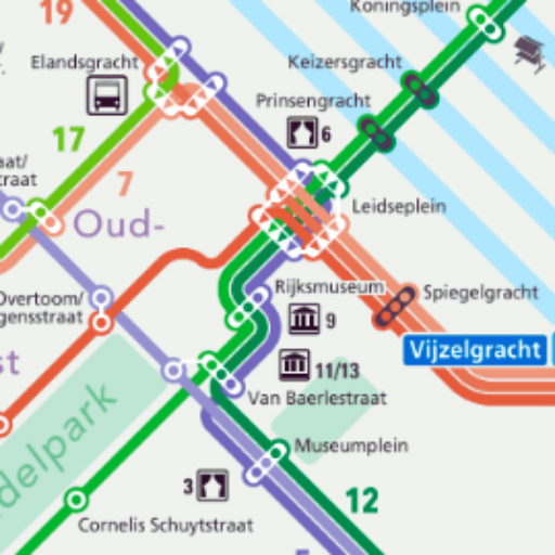
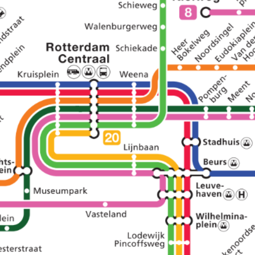
City Transport Map Amsterdam
Metro, Tram, Marmarey and Bus routes on the Amsterdam map. Offline mode.


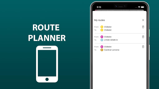
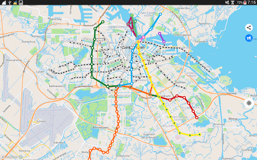
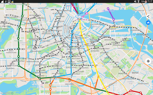
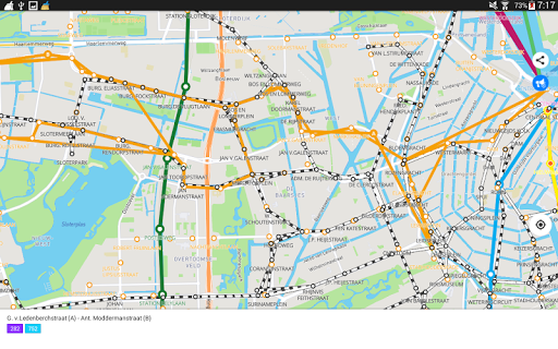
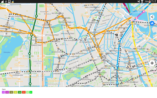
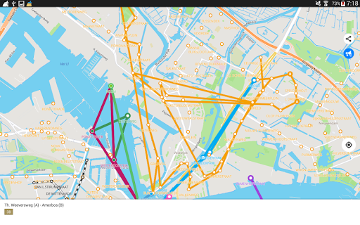
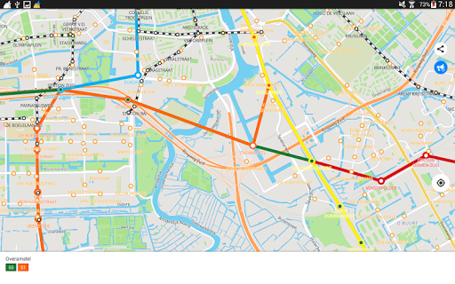

City Transport Map Amsterdam - Offline Routes
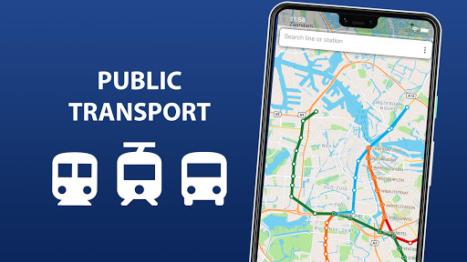
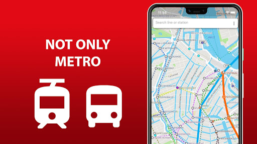
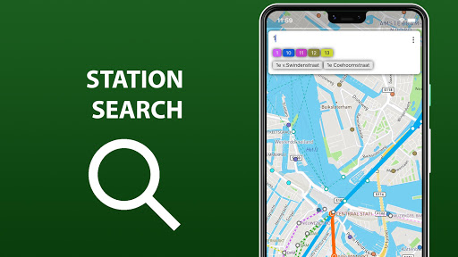
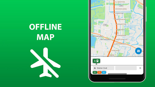
"City Transport Map Amsterdam" is an interactive public transport map app that provides detailed metro, tram, and bus routes in Amsterdam. Download offline maps to navigate the city's transport system, view lines and stations, and find bus stops for both direct and return routes. Enjoy your travels without worrying about roaming charges with this essential tool for getting around Amsterdam comfortably and efficiently.
App stats
By: Sklr
Permissions:
- android.permission.ACCESS_COARSE_LOCATION
- android.permission.ACCESS_FINE_LOCATION
- android.permission.ACCESS_NETWORK_STATE
- android.permission.ACCESS_WIFI_STATE
- android.permission.INTERNET
- android.permission.READ_EXTERNAL_STORAGE
- android.permission.READ_PHONE_STATE
- android.permission.WAKE_LOCK
- android.permission.WRITE_EXTERNAL_STORAGE
- com.android.vending.BILLING See more
Size: 60.00M
Email: sk*****@gmail.com
URLs: Website ,Privacy policy
Full description: See detailed description
Ranking
Other platforms
Not available on Chrome
Not available on Firefox
Not available on Edge
User reviews
Trash application. It started with a full area map and immediatwly had an "update" which stripped off all but 4 lines in downtown. Downloading an offline map costs an arm and a leg and I am now stuck at the airport with no transit map out. Thanks a frelling bunch!
by  0001 0000, 2023-10-09
This app will not load the offline map. It consistently stops at 74-percent. Secondly the application kerps insisting that I link acrefit card to a google account. This is a complete failure on their part since I will not do such. They should have another means of handling payments.
by  A Google user, 2019-08-17
Similar apps
Here are some Android apps that are similar to City Transport Map Amsterdam:
msto
4K 0.00  (0)
(0)

Map Apps
3K 0.00 (0)

MobiTech Digital Ltd
24K 0.00 (0)

Aerostatmaps
1K 0.00 (0)

AppPlay Software
2K 0.00 (0)
msto
977 0.00 (0)

CityMaps2Go-Kulemba
138K 4.42 (638)

Topobyte.de
248K 3.67 (790)

MobiTech Digital Ltd
5K 0.00 (0)