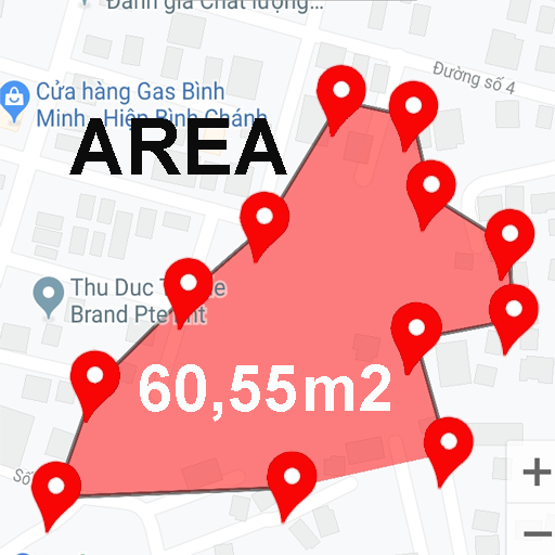
Land Surveyor PointMap Viewer
This App Shows Land Surveyor Points on Google Maps


- By:
- Epic Voxel
- Downloads:
- 1,607
- Version:
- 0.9.8 (Last updated: 2024-11-12)
- Version code:
- 133
- Creation date:
- 2022-04-26
- Permissions:
- android.permission.ACCESS_ADSERVICES_AD_ID
- android.permission.ACCESS_ADSERVICES_ATTRIBUTION
- android.permission.ACCESS_ADSERVICES_TOPICS
- android.permission.ACCESS_COARSE_LOCATION
- android.permission.ACCESS_FINE_LOCATION
- android.permission.ACCESS_MEDIA_LOCATION
- android.permission.ACCESS_NETWORK_STATE
- android.permission.ACCESS_WIFI_STATE
- android.permission.CAMERA
- android.permission.CHANGE_NETWORK_STATE See more
- Size:
- 107.21M
- Email:
- in*****@gmail.com
- URLs:
- Privacy policy
- Full description:
- See detailed description
- Source:
- Google Play Store
- Updated:
- a day ago
Ranking
User reviews
Una herramienta muy útil para profesionales de ingeniería y topógrafos.
by  Rafael Espinosa, 2022-05-15
Similar apps
Here are some Android apps that are similar to Land Surveyor PointMap Viewer: